Journey through historic Kurdistan with daring scientist Carl Haussknecht who dodged bullets to map rare flora and ancient mountain caves.
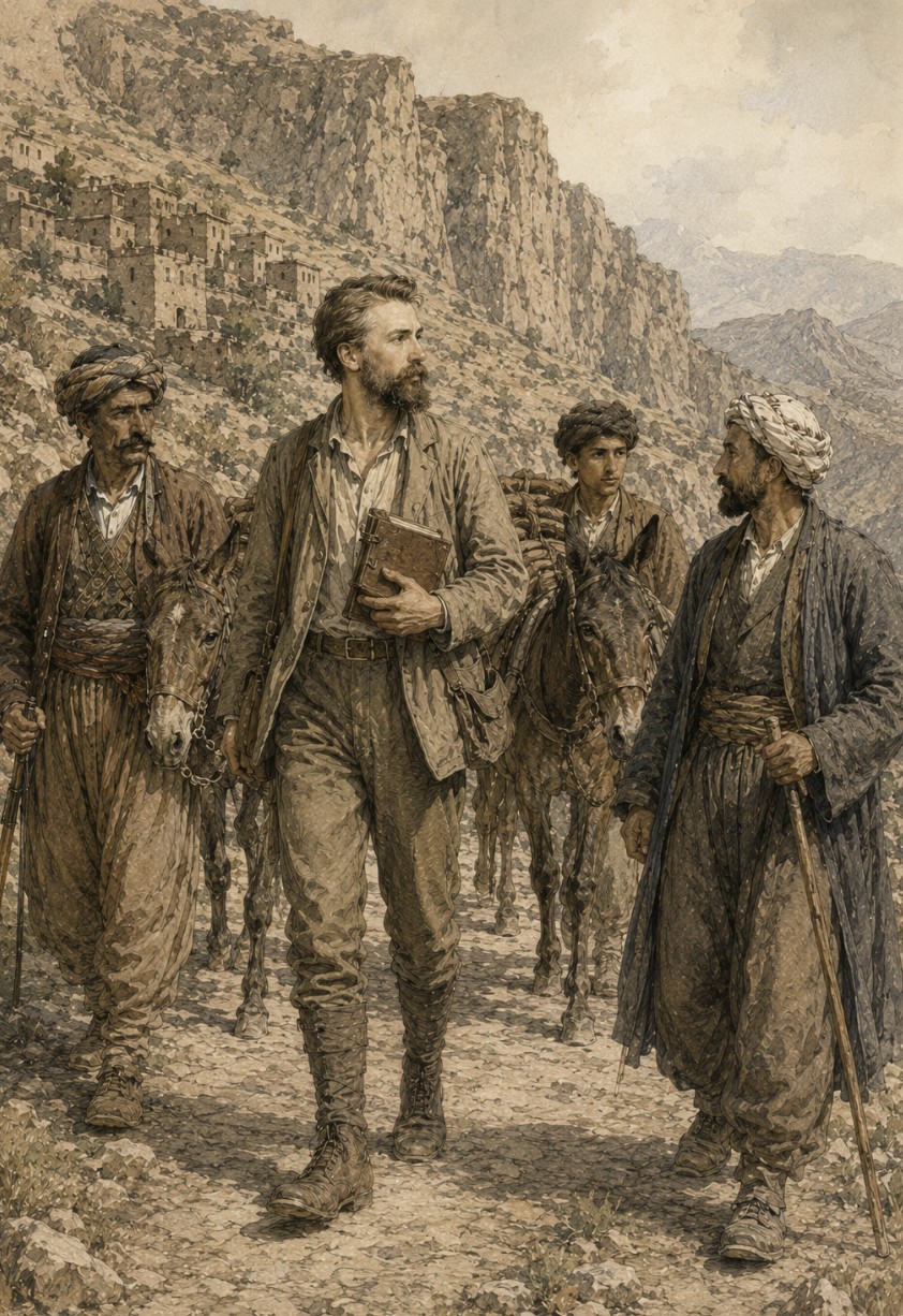
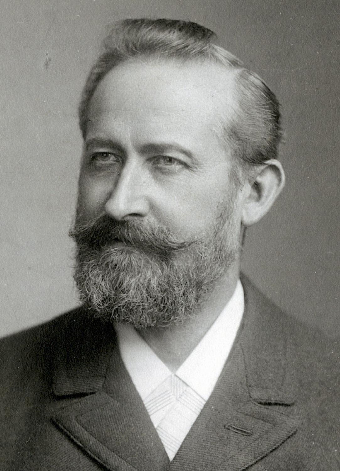
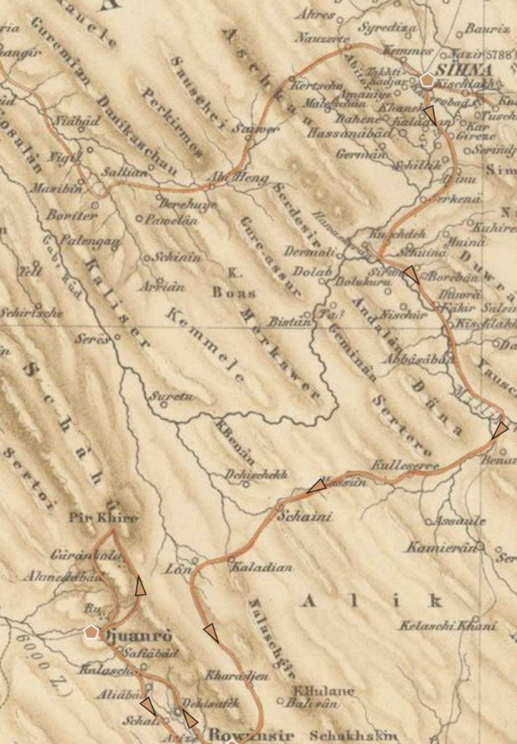
In February 1865, a 27-year-old German botanist named Carl Haussknecht (1838–1903) stepped off a ship in Izmir and began a journey that would eventually carry him deep into Kurdistan and the Zagros Mountains. Traveling under the sponsorship of the Swiss botanist Edmond Boissier, who needed fresh plant material for his monumental Flora Orientalis, he avoided the well-worn caravan routes of earlier travelers in favor of a more improvised course. His first expedition took him through what is today southeastern Turkey and northern Syria; his second, launched in November 1866, carried him through Ottoman Kurdistan and across the Zagros Mountains into Qajar Persia, before he finally returned to Germany by way of Baku and Tbilisi in March 1869.
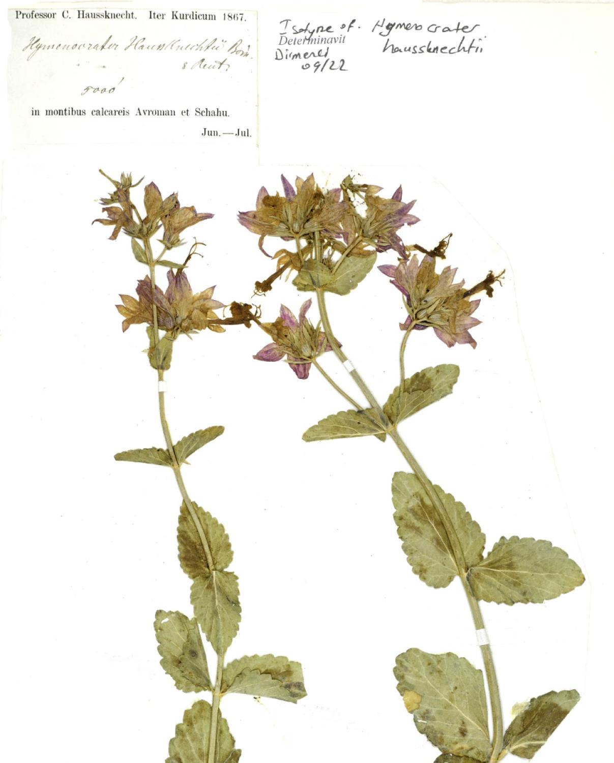
Trained as a pharmacist, Haussknecht had already established himself as a gifted botanist in Switzerland, where he identified a previously unrecorded plant species — a discovery that caught the attention of established botanists and eventually led to Boissier’s invitation. The fieldwork that followed yielded thousands of specimens and more than 400 newly described species.
But Haussknecht’s significance extends well beyond the herbarium. Alongside his plant presses, he kept an extraordinarily detailed travel diary — nearly 1,000 pages of German Kurrent script, still only partially studied by scholars — recording not just flora but the terrain, the tribal societies, and the political conditions he moved through. In September 1867, on the stretch between Sanandaj and Kermanshah, he paused at Ravansar and Javanrud to climb into the Shaho massif in search of rare plants, and in the process left behind a vivid record of the Kurdish villages, tribes, and landscapes he passed through.
Into the Zagros
After a short stay in Sanandaj, Haussknecht set out at midday on September 6, 1867, having hired a muleteer with four horses for the road to Kermanshah. The ten-day journey that followed covered roughly 120 kilometers through some of the most demanding terrain of his Kurdistan expedition, culminating in a botanical excursion onto the high limestone spine of the Shaho Mountains.
The first days gave little hint of what lay ahead. Riding south along the upper Sirwan River, Haussknecht passed villages where rice grew in the flooded valley bottom and tamarisk lined the banks. The route grew rougher as it approached the mountains of what is now Kamyaran County. Beyond the villages of Massan and Shaeini, Haussknecht crossed a pass he estimated at roughly 2,000 meters, cutting through banded slate formations. Past Shaeini lay a village called Lon — once, he was told, so notorious as a den of robbers that safe passage was impossible until the government established a religious lodge there and installed sheikhs to oversee it. From Lon, the trail curved toward the great limestone wall of Shaho, crossing a stretch so dry that travelers had built a small reed hut into the cliff face just to shelter clay water jars, refilled daily by the sheikhs for anyone crossing the waterless gap.
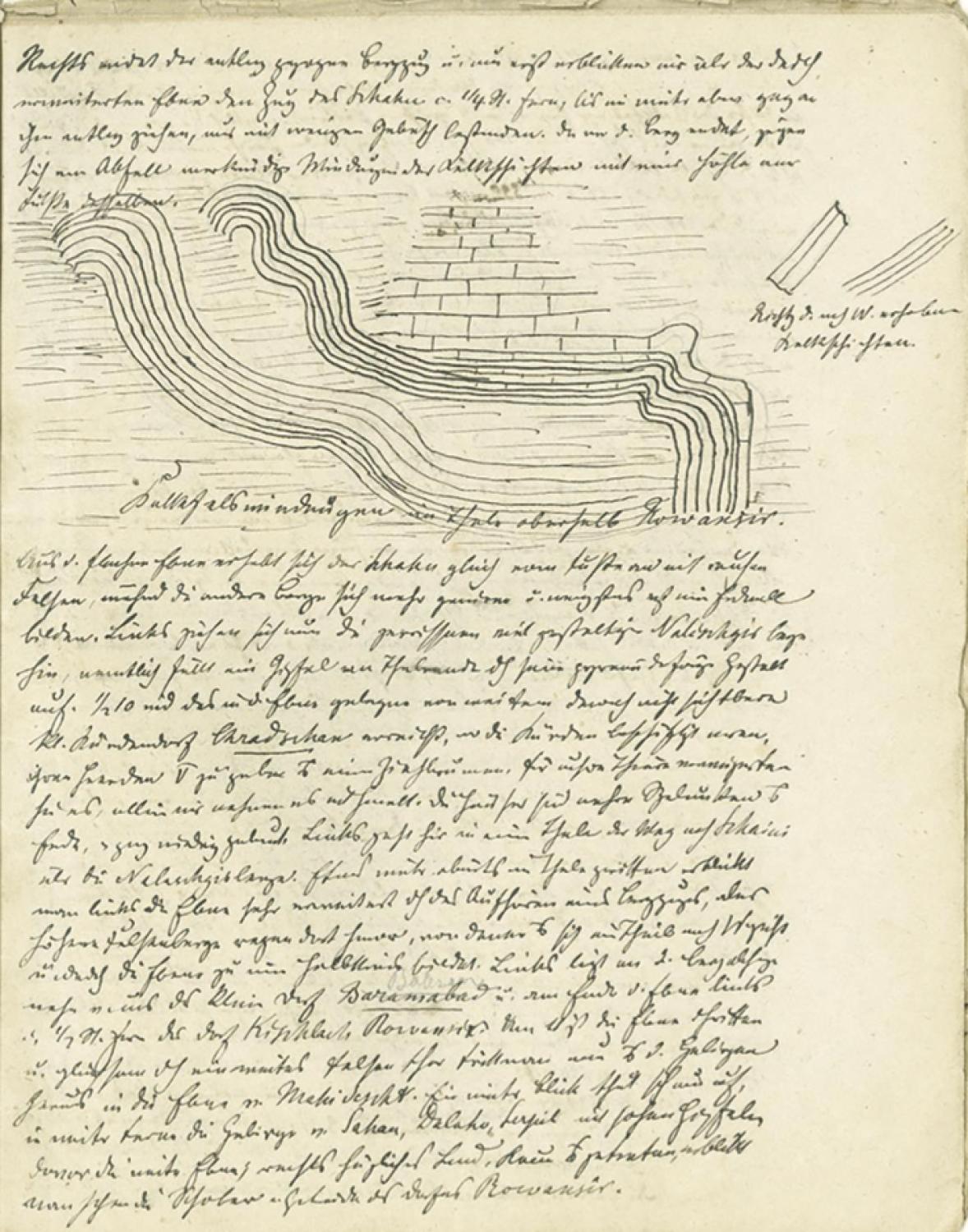
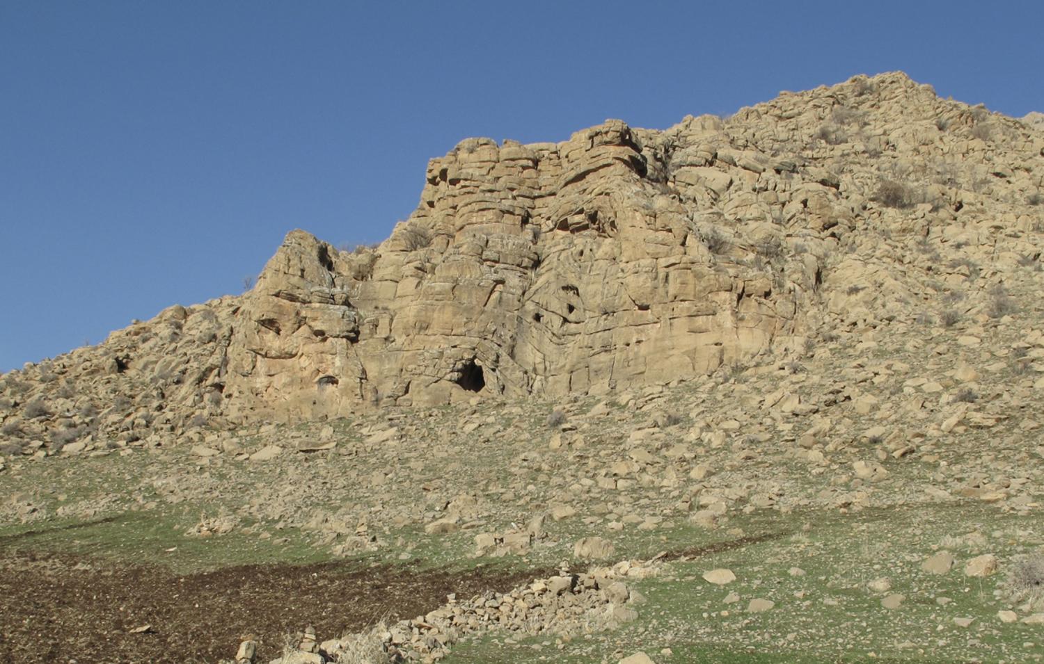
The stony path then descended steeply into the floor of a narrow valley — known today as Tang Lon — whose level bottom widened gradually as it ran downstream. On the right, the mountain range that had shadowed the party finally gave way, and only then, across the newly broadened plain, did the Shaho range come into view for the first time, some quarter of an hour distant. Riding on downhill along its base through sparse shrub cover, Haussknecht observed remarkable folds in the limestone strata where the mountain ended — and, at its foot, a cave. Decades later, this author’s own surveys of the Rawansar region, conducted in the 2000s, would identify prehistoric material in that same cave. At 9:30 am, the party reached a small Kurdish village Haussknecht recorded as Chradschan (Kharajian in Kurdish), a village so unassuming it remained invisible from a distance despite sitting on open ground. Its inhabitants, busy drawing water from a well for their herds and slaughtering an animal, refused to share water with Haussknecht’s animals; the party took water by force regardless. Their houses, he noted, were miserable hovels, built entirely of earth and very low to the ground.
Rawansar: Where Water Rises from Stone
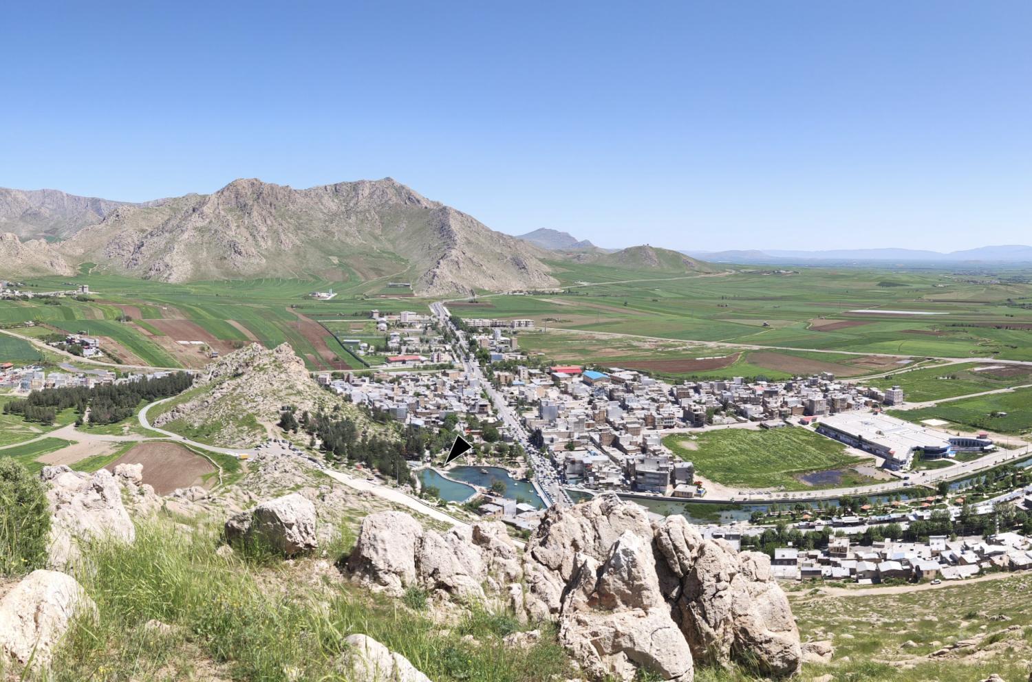
It was on this stretch that Rawansar first came into view, framed by a natural rock gateway opening onto the plain of the upper Qarasu River. Rawansar, then a village of just over a hundred houses, sits at the foot of a limestone cliff that forms the actual source of the Qara Su River, its water emerging from four major outlets. The largest pooled into a pond some 200 paces around, its surface visibly bubbling from springs below. Haussknecht noted diving ducks on the water, a great millstone-like block of limestone used as a prayer site, and a small rock-hewn chamber above the village that local tradition attributed to the legendary sculptor Farhad. The German archaeologist Peter Calmeyer, who visited the area in the 1970s, later tentatively dated both the limestone block and the nearby rock-cut tomb — locally known as Koshk Farhad — to the Achaemenid period.
Haussknecht also noted that the present-day village stood on the site of a much older settlement, pointing to a tell, or ancient settlement mound, on the opposite bank near the orchards. That mound, known today as Tappeh Mousaei, holds an archaeological sequence spanning at least the last 7,000 years. Chronic banditry, he was told, was the reason the settlement had never grown larger, despite its ready water and fertile soil. Seven of the wealthier households had organized a rotation for hosting travelers. The man whose turn it happened to be was away that day, but his wife slaughtered chickens and brought out food without a moment’s hesitation. Rawansar has since grown into a city of over 100,000 people, and the seat of its own county within Kermanshah Province.
Between Rawansar and Javanrud, Haussknecht noticed something almost domestic amid the grandeur: the roofs of village houses were everywhere covered with cakes of dried cow dung, stored for winter fuel, while simple branch-roofed huts stood beside nearly every village.
Javanrud and the Road to Shaho
The next stage of the journey brought him to Javanrud, then a village of some 200 houses and the seat of a district governor overseeing roughly 160 villages and, in summer, thousands of tents belonging to migratory Kurdish tribes. Haussknecht found the governor holding court under a tree and was immediately offered honey, fish, and sheep’s butter. Above the village orchards stood the ruins of an old fortress on a natural mound, known locally simply as “Qala” — Kurdish for fort. Javanrud is now a city of more than 60,000 people.
From Javanrud, Haussknecht set out on the botanical excursion that became the journey’s defining episode. Riding first to a Kurdish encampment some three hours off, he passed through oak and pistachio scrub, noting oaks heavy with young galls and pistachio trunks studded with small clay vessels for collecting resin. A good mule track climbed slopes covered with Aleppo oak, its acorns already ripe and its twigs thick with red galls, alongside valonia oak, still unripe, and more pistachio trees fitted for resin collection. Syrian pear grew abundant and heavy with fruit. The lower slopes were shrubby, but higher up, away from the villages, the hillsides turned fully forested — except where the land faced the plain, and indiscriminate felling had left it bare and steadily more deforested. Passing a small village and crossing several wooded foothills of dark red soil, Haussknecht reached the camp of the Shuwankara Kurds after nine hours, slept briefly, and left his horses behind. Setting off again after midnight with two Kurdish porters carrying his plant presses, he reached the rocky foot of Shaho after roughly two more hours of riding — the tree line ending abruptly at the base of the massif — then climbed steeply for two hours through a natural rock gateway to the ridge he recorded as Pir-Khedr.
Ascending Shaho: Caves, Springs, and a Mountain’s Secrets
On the summit ridge, Haussknecht recorded boiling water at 88°C against an outside air temperature of 15°C — a rough measure of altitude by the standards of his day. Although water flowed through the mountain’s karst system, the exposed ridge itself was bone dry; all the water, he surmised, retreated underground, only to emerge again in springs and caves at the foot of the range, as at Rawansar. The southern slopes lay scorched bare by the sun, but on the sheltered northern side he found Artemisia bersalin in full bloom. Leaving a Kurdish guide to watch the equipment, he climbed a further peak alone for the view, looking back over the valley of Lon framed by the broader flank of Shaho. Only a little snow remained this late in the season.
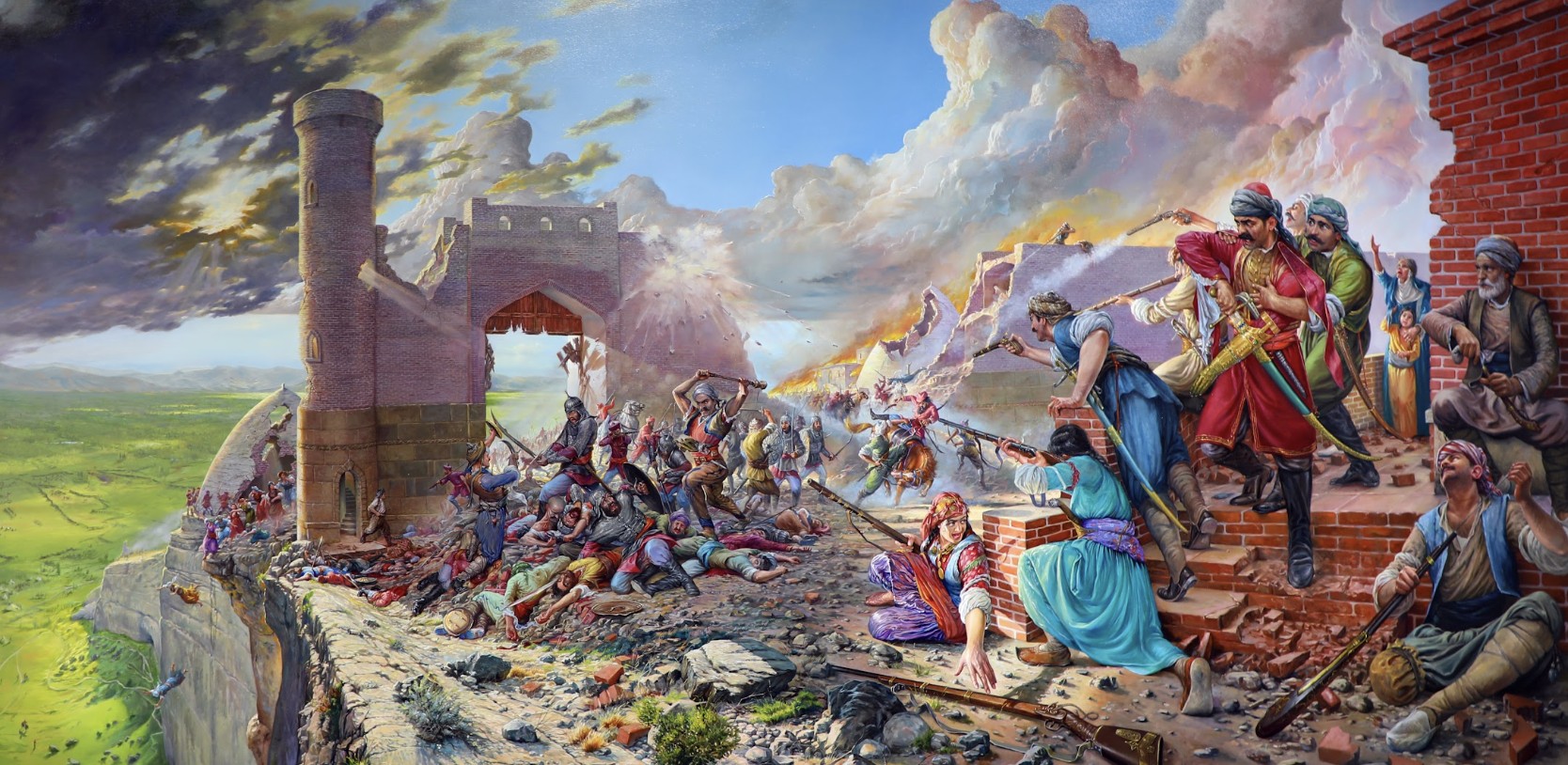
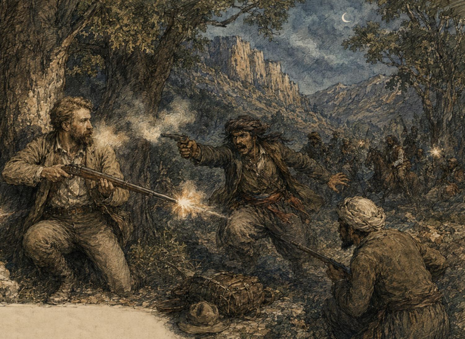
The descent proved far more dangerous than the climb. While camped in an oak forest near Shaho, Haussknecht and his party were ambushed by around 60 armed Jaff Kurds. In the exchange of gunfire, an attacker approached from behind and fired at point-blank range, missing but burning Haussknecht's face with gunpowder. Haussknecht turned and shot the assailant dead. He survived the encounter, but the gunpowder left scars he carried for the rest of his life.
On the way back, he visited a cave called Qori Qala — wide enough to walk fifty paces into before it bent out of sight, a stream audible somewhere in the dark. Local Kurds insisted it ran on, unexplored, beneath the entire mountain. They were not far wrong: Qori Qala is now known to run some 12 kilometers, although only about three kilometers have been mapped. Today, its illuminated walkways attract thousands of visitors each year. Registered first as a National Natural Monument and later as one of Iran’s national heritage sites in 2009, the cave has since yielded Sassanid-era silver vessels, pottery, and coins near its entrance — while nearby caves and rockshelters sheltered hunters for tens of thousands of years before that. In surveys of the area, this author has identified several such caves and rockshelters containing lithic artifacts spanning the Middle Paleolithic — the tool tradition associated with Neanderthals — through the Upper Paleolithic and Epipaleolithic periods of modern humans, pushing the region’s known human presence back beyond 40,000 years.
After a second excursion into a nearby limestone gorge — most likely the Kawat Valley, where several caves are located — Haussknecht examined a stalagmite formation in a cave said to be the petrified body of King Solomon. He then returned to Javanrud before setting out again on the final leg toward Kermanshah. The road took him past reed-and-matting summer camps, along the winding Qara Su River, and past the great karst spring of Saraw Nilufar, before he reached, at last, the city of Kermanshah itself — closing out a ten-day passage across the Zagros frontier.
is an archaeologist and heads the Paleolithic Department at Iran’s National Museum. His work has taken him across the western Zagros Mountains, where he has led numerous archaeological excavations in Kurdistan and Kermanshah.